Committee Members
-
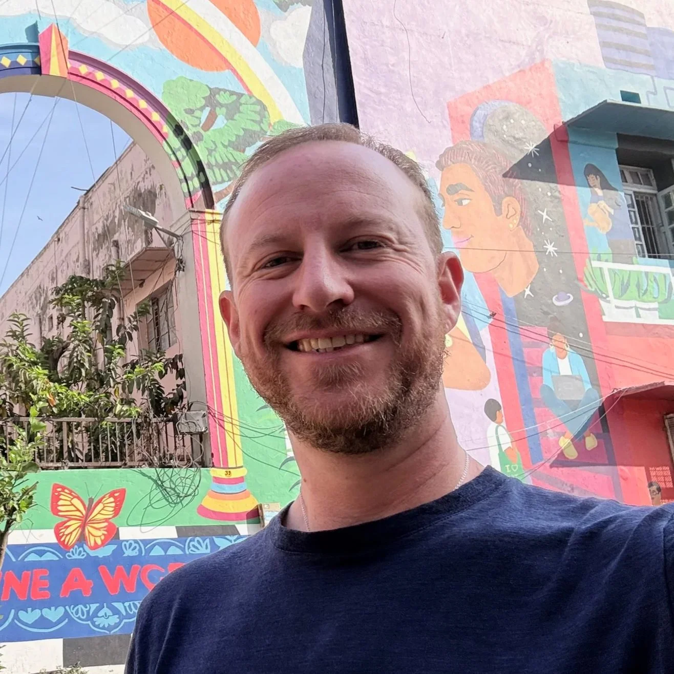
Alex Leith
Auspatious
Alex is an open geospatial technologist specializing in software development, cloud infrastructure and program governance with an emphasis on Earth observation data. As Executive Director at Auspatious, Alex focuses on making data more accessible and works to support informed decision-making and promote sustainable development.
-
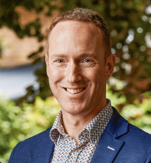
Arko Lucieer
The University of Tasmania
Arko is a Professor of Remote Sensing and Head of the School of Geography, Planning and Spatial Sciences at the University of Tasmania. His work focuses on advanced Earth observation techniques, particularly using drones. (UAVs), LIDAR and multispectral and hyperspectral imagery for environmental monitoring and spatial analysis.
He has extensive experience in applying remote sensing to ecosystems such as Antarctic environments, forests, and climate-impacted landscapes, and has contributed to both academic research and industry collaborations.
-
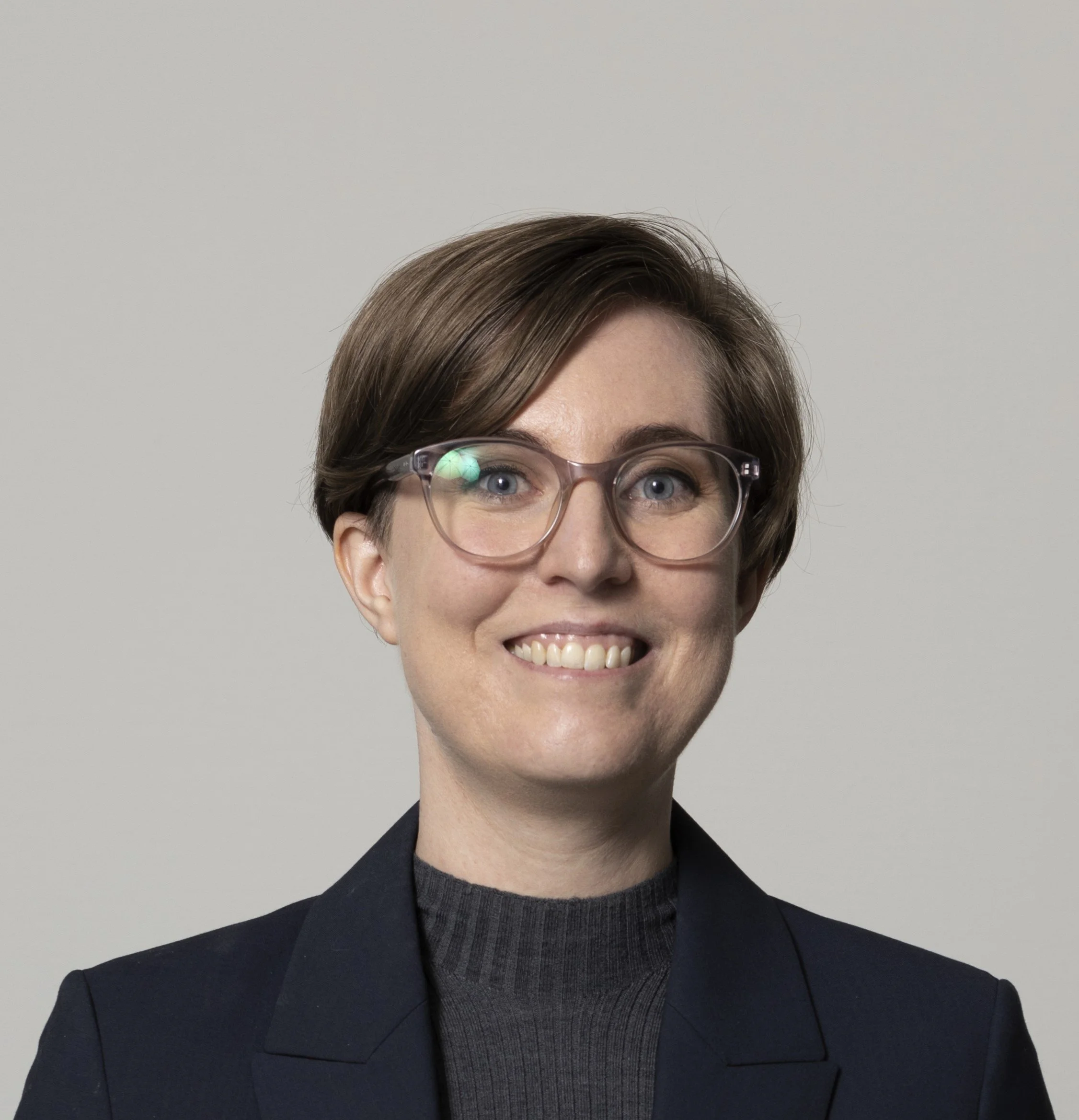
Dr. Jenna Guffogg
Geoscience Australia
Jenna is an Earth Observation Scientist in the Digital Earth Australia program at Geoscience Australia, where she works on transforming Earth observation data into Earth insights by monitoring and analysing Australia’s dynamic land, water and coastal environment over time.
Before joining Digital Earth Australia, Jenna led research investigating ways of applying earth observation technology to track and identify marine plastic pollution washing up on remote shorelines.
-
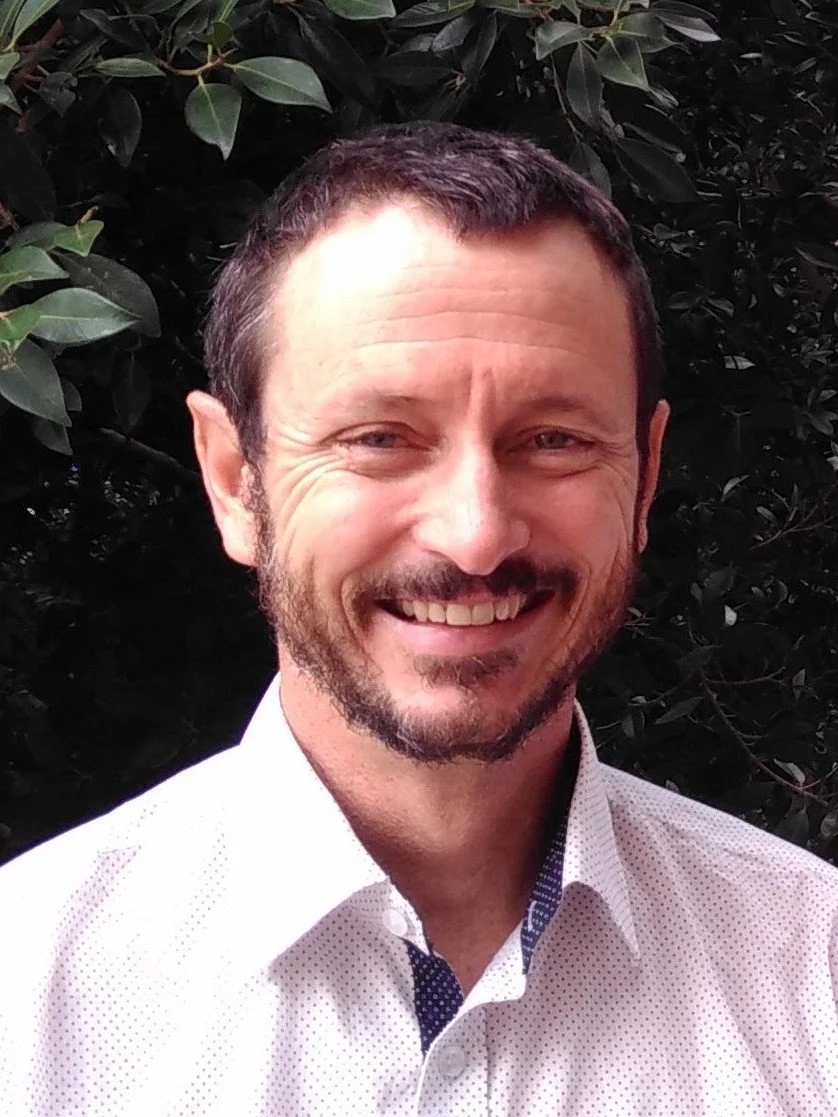
Stuart Phinn
Earth Observation Australia / The University of Queensland
Stuart is a scientist, educator, and leader who builds and applies methods to measure and understand how our environments are changing at multiple scales (www.eorc.org.au). He works across collaborative, multi-disciplinary teams and organisations to deliver quality science that draws upon field-work, satellite-image data, and modelling, through: founding directorships of Australia national earth observation coordination body (www.eoa.org.au) and collaborative research infrastructure (www.tern.org.au) and a world-leading research to operational program that supports government environmental monitoring (www.jrsrp.org.au); and program leadership of industry-driven research. Stuart’s work provides solutions to support sustainable development and resource use for all levels of government, various industries, and communities.
-
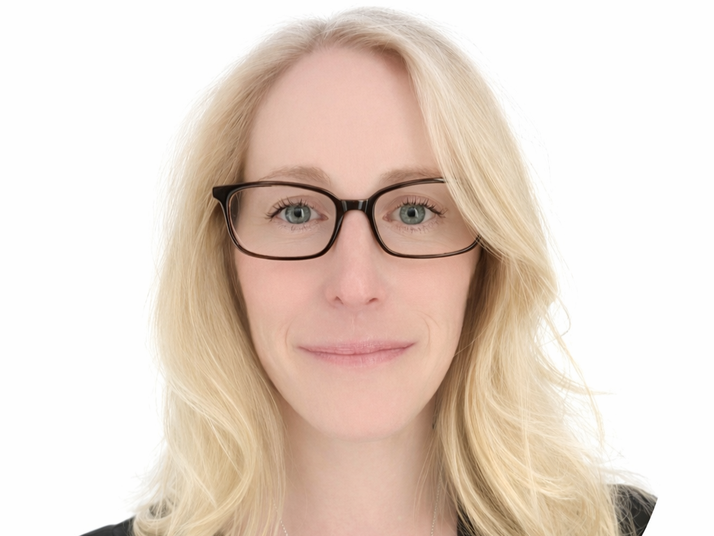
Terri Freemantle
NGIS
Terri is a Brisbane-based Senior Earth Observation Consultant with NGIS, dedicated to leveraging EO for impactful, community-driven solutions. Her career began in the UK, where she worked across industry, innovation and the non-profit sector. She has a track record of delivering EO-based solutions for humanitarian response, disaster resilience, and sustainable development. These international projects honed her expertise in coordinating complex, cross-sector partnerships and reinforced her commitment to inclusive, evidence-based policy.
Since relocating to Australia, Terri has focused on solving regional challenges. As the Planet Partnership Programme Manager at NGIS, she leads the state-wide imagery programmes for the Queensland and NSW Governments. Her work extends beyond data delivery, focusing on stakeholder engagement and capacity development to build institutional resilience and operational uptake across civil government.
As an organiser for the AEO Forum, Terri focuses on the downstream sector and the rapid emergence of generative AI and geospatial foundation models. She is a passionate advocate for science communication, using EO to tell stories that connect science with the public while ensuring the use of satellite imagery remains ethical and transparent. She brings a collaborative mindset to the AEO team, striving to make Earth Observation accessible, responsible, and impactful for all Australians. -
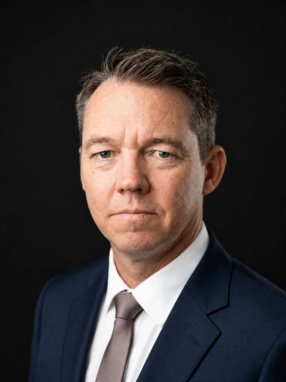
Dr. Rory Donnelly
NGIS
Rory Donnelly is General Manager of Earth Observation & Sustainability Innovation at NGIS, leading a team of data scientists spread across Australia, Europe and North America delivering applied analytics and machine learning services to governments, EU institutions and Fortune 500 clients. He co-founded NGIS EU Limited (Ireland) in 2021 to extend the practice into European markets and now directs delivery on the Google Cloud, Earth Engine and Vertex AI stack. A former Business Manager at the European Association for Remote Sensing Companies in Brussels and Plymouth Marine Laboratory in the UK, he holds a PhD from Murdoch University and is completing an MBA at the University of Western Australia.
-
Gavin Kennedy
Geofoundry
Gavin is a consultant working with Earth observation and geospatial researchers and industry operating across agriculture, mining and resources, environment, and disaster resilience, where research and analytics need to translate into practical, real-world use. Supporting the AEO forum reflects this passion for bringing researchers and industry together.
Prior to his EO and geospatial career, Gavin held diverse roles as a software developer for online genomics databases, bioinformatics data analyst, high-performance computing infrastructure manager and project manager for a significant number of research to government and industry collaborations.
-
Roxane Bandini-Maeder
Geoneon
Roxane is the CEO and co-founder of Geoneon, a technology firm that leverages Earth Observation, Artificial Intelligence and Data Fusion to map globally wildfire risk and vegetation. With a background in disaster risk reduction, spatial sciences, and international relations, she emphasises the importance of cross-border collaboration, knowledge dissemination, and impactful partnerships. Throughout her career, Roxane has offered advisory services to government agencies, leveraging her geospatial expertise to shape water exploration, bushfire management, and emergency service strategies.
-
Dr. Samuel Holt
Aerometrex
Dr. Samuel Holt is Head of Data & Production at Aerometrex and a remote sensing and geospatial professional with expertise spanning airborne LiDAR, aerial imagery, GIS, and Earth observation applications. With a background in both industry leadership and applied research, Sam has led multidisciplinary teams across production, data engineering, and innovation initiatives, while contributing to projects focused on climate resilience, Indigenous spatial planning, and environmental monitoring. He is an active contributor to the geospatial community through conference presentations, workshops, and professional committees, and currently serves on the 2026 Advancing Earth Observation Forum Organising Committee.
-
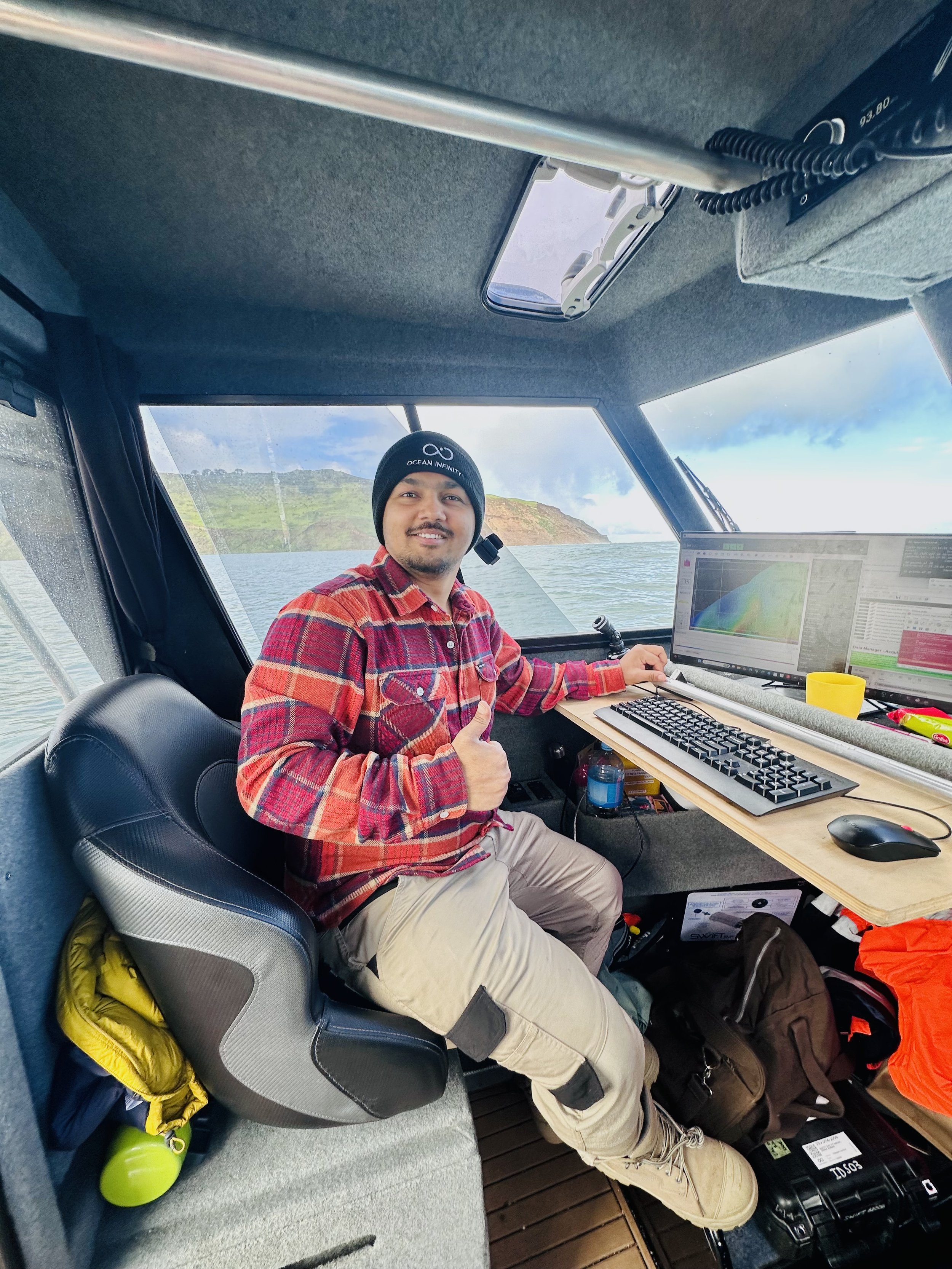
AbHi Ghim
Ocean Infinity
AbHi, originally from Nepal, built a strong foundation in geological sciences before advancing his expertise through a Master’s program at the University of Tasmania, where he specialised in geospatial science, remote sensing, and Earth observation.
He currently works with Ocean Infinity (Australia), supporting projects across the APAC region, particularly in Australia and New Zealand. Abhi has developed practical experience since his student years, strengthening his capabilities in geospatial analysis, spatial data interpretation, and technical reporting.
With a commitment to continuous learning and interdisciplinary collaboration, he is dedicated to advancing his expertise and is passionate about leveraging remote sensing and Earth observation technologies to address real-world environmental, water resource, and defence-related challenges.
-
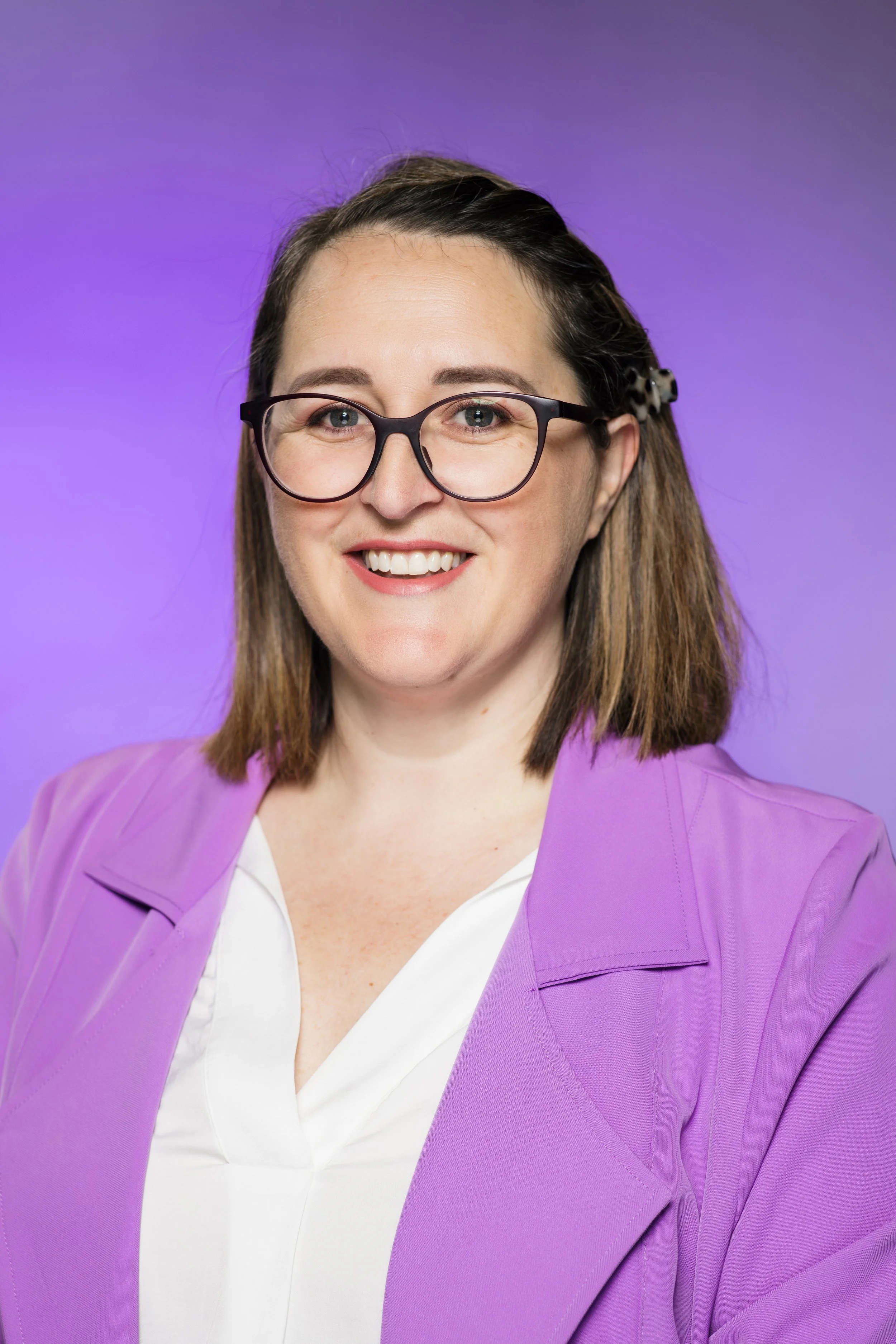
Shanna Sheldrick
Premier Events
Shanna is a Professional Conference Organiser (PCO) and had the pleasure of helping manage the Advancing Earth Observation Forum in 2024.
She is thrilled to be working alongside the 2026 committee for this year’s Forum. Shanna enjoy working behind the scenes with committees, speakers, and sponsors to help bring events together and create a smooth, positive experience for everyone involved.
-
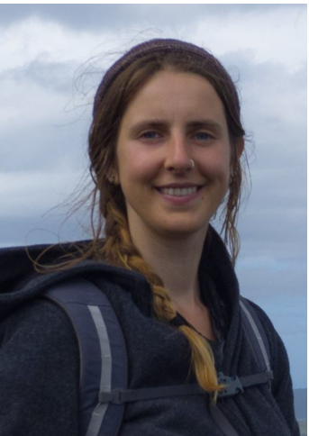
Steph Johnson
CSIRO
Steph is a Geospatial Analyst at CSIRO with a PhD in fire ecology.
Her work leverages Earth observation technologies, particularly LiDAR, to support carbon assessment, vegetation structure analysis, and the management of threatened species.
-
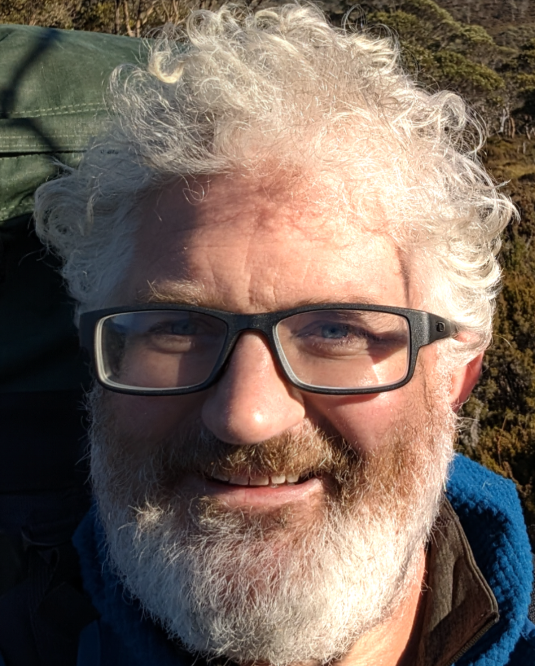
Michael Sumner
Australian Antarctic Division
Michael is a Research Software Engineer at the Australian Antarctic Division, a long term
expert in marine animal tracking, satellite data processing, use of map projections and
compute-provisioning for science. He is passionate about software development for ease-of-use,
contributes to foundational software libraries including GDAL, and is exploring the heady zone
between the geospatial and array computing landscapes with R, Python, Rust, and C++. -
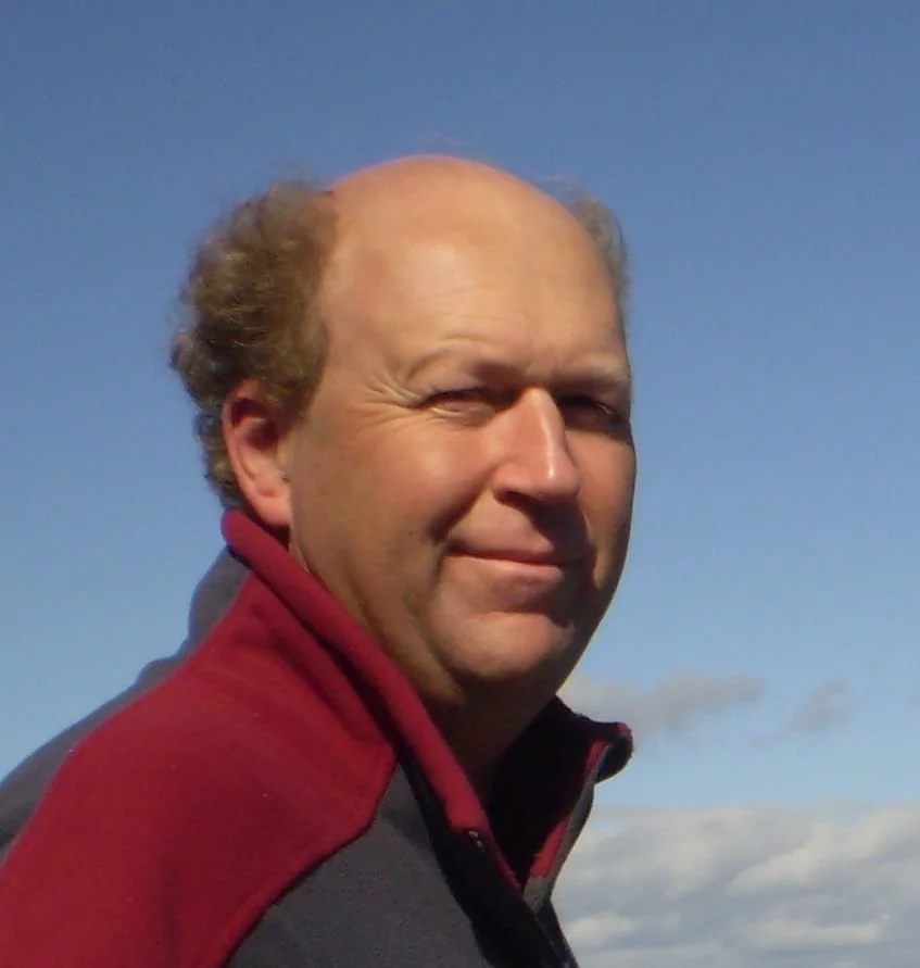
Edward King
CSIRO
A physicist by training, with a career initially in radio astronomy and then both terrestrial and marine Earth Observation, remote sensing of some sort has been a part of Edward King’s work for 30 years. He has led major projects using earth observation in water resource assessment (WIRADA), coral reef water quality (eReefs) and contributes to the development and sharing of Australian archives of moderate resolution satellite imagery.
Edward is the custodian of CSIRO’s (and most of Australia’s) NOAA/AVHRR 1km data collection (a 40-year long daily record) which he is seeking to manage and make available to the research community. He is a leader in the Satellite Remote Sensing Facility of the Integrated Marine Observing System and has also led a number of data archive project activities in the Terrestrial Ecosystem Research Network.
Edward has represented CSIRO on several national and regional consortia, including as a member of the steering committee of the Australian Copernicus Regional Data Hub. He currently leads a major ocean forecasting project for CSIRO and is completing a term as leader of the High Resolution Climate and Ocean Extremes research group in CSIRO Environment.